
Geophysics
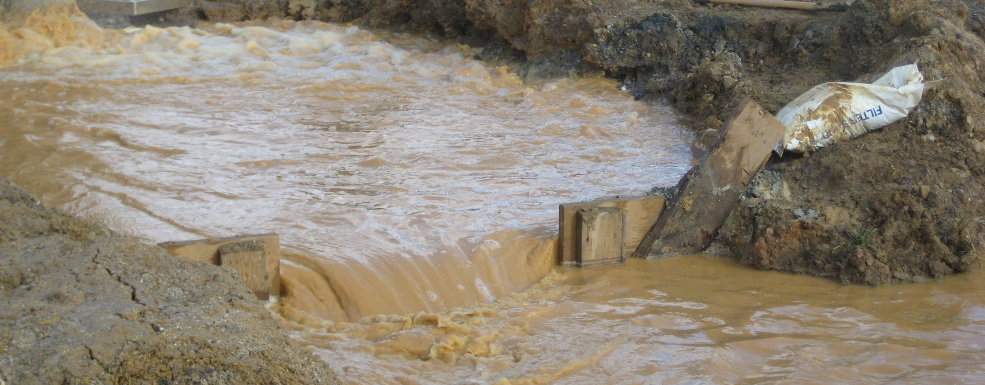
Encountering unknown subsurface conditions can be costly for your project, both in money spent and time lost. ARM Geophysics has the in-house knowledge and equipment to help you avoid the unexpected and to provide unique insights into the earth’s subsurface.
Geophysical investigations can help you detect buried hazards, identify construction risks, and efficiently mitigate your site’s challenges before they become a serious problem. Our approach is to seamlessly integrate geophysics, geology, hydrogeology, and geotechnical engineering to develop and implement project-specific, non-destructive strategies that are designed to understand and address the subsurface characteristics of your site.
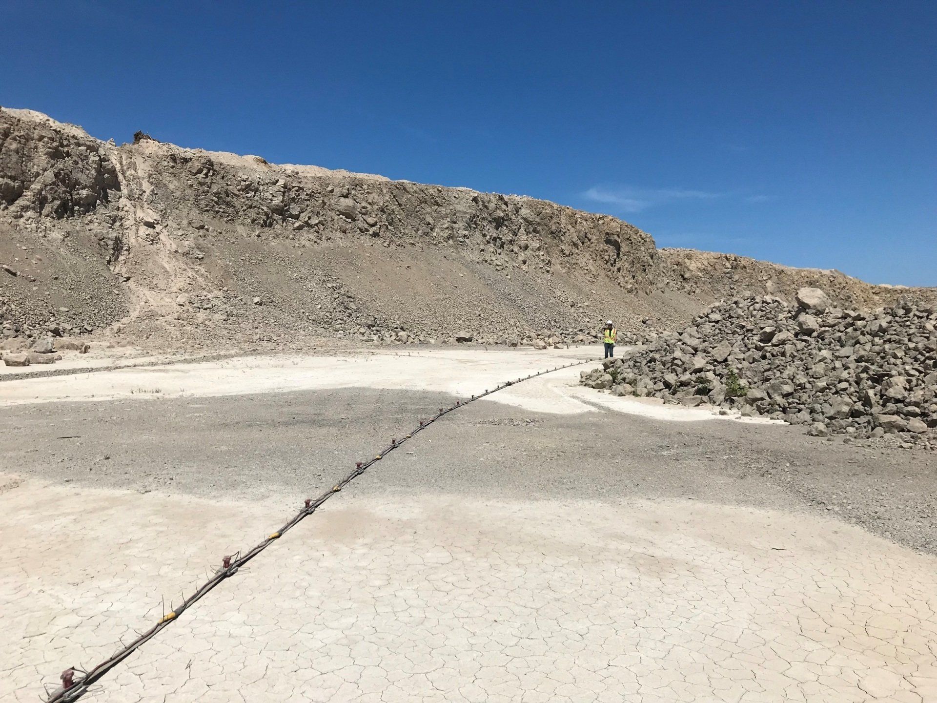
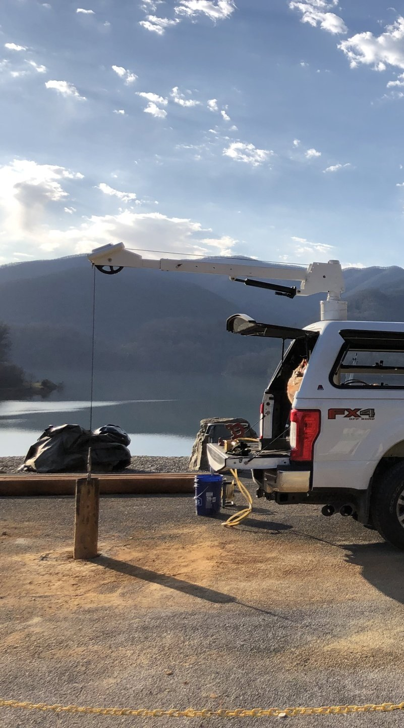
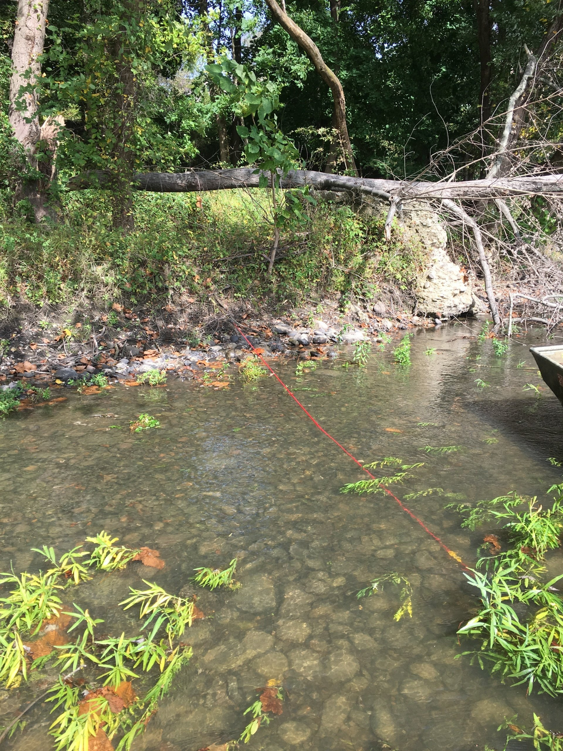
We are trained to apply state-of-the-art data collection and processing methods, including 2-D and 3-D data visualization, mapping, and modeling techniques. ARM Geophysics’ expertly crafted services result in a unique, cost-effective solution for virtually every circumstance, making us your “Go-To” to uncover what lies beneath your feet.
Geophysics Markets Served
Featured Projects


Scott Wendling, P.G.
Vice President of Geophysics & COO
Scott has more than 30 years of diverse professional experience including technical, office, program and project management, and business development. He has managed a diversified staff of geophysicists, hydrogeologists, engineers, scientists, technicians, administrative personnel, and subcontractors. He has designed, implemented and managed hundreds of environmental and geophysical projects for commercial, industrial, and governmental customers. Mr. Wendling’s specialized experience in the geology and hydrogeology of karst terranes and with HDD resulted in his invitation by the PADEP Secretary to serve on the HDD Stakeholder Workgroup. The PADEP’s HDD Stakeholder Workgroup has been formed to assist in the development of policies, procedures, and guidance for multi-county HDD pipeline projects.